Is there a reference to learn how to set the scale more than one viewports to different scales?
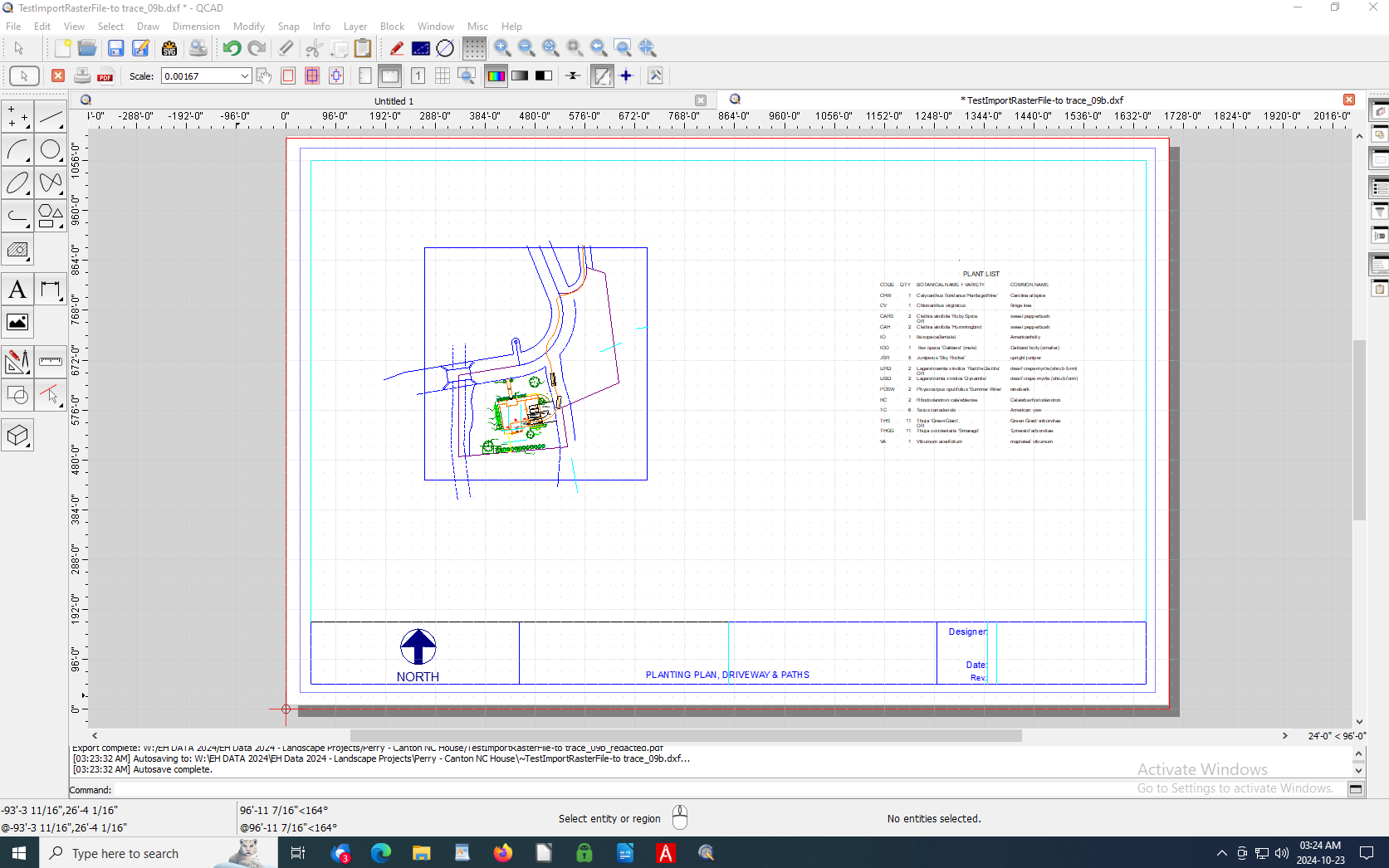
Using Imperial measurements, with both architectural units, for example 1/8" = 1’ 0" (from the architectural blueprint for the house) and engineering units, for example 1" = 40’ (from the plot survey for the property boundaries and roads). I am adding plants and hardscaping (paths and driveway). There is also a plant list (as a table) that was imported from a spreadsheet and adjusted the spacing (in an earlier post).
I would like to print to Arch D size paper (24" x 36"), probably at 1" = 50’ (scale factor 600; inverse multiplier 0.00167). The scale on survey is 1" = 40’ and it is a PDF (raster file), so it was transferred to Inkscape to trace it. The blueprint of the house is scaled at 1/4" = 1’ 0" and it is a PDF from a scalable vector file.
Thank you in advance.
Win 10 Pro 64-bit, QCAD v. 3.30.1.0
Survey Plot 8- redacted detail.pdf (142 KB)